
Traffic Safety Data Portal
The safety of Texans who travel the state's road systems and highways is of utmost importance to TxDOT. Learn what we're doing to improve road safety.
Visit Traffic Safety Data Portal
Crash reports and records
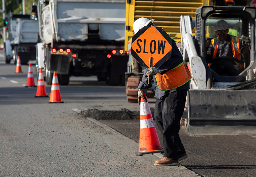
TxDOT works tirelessly to reduce the number of Texas roadway accidents. You can only improve something if you measure it, which is why accurate crash reports and records are a priority.
Reference and travel maps
Interested in taking a trip across our great state? Discover congestion maps, maps of our metro areas, and more to help you get to your destination on time.

Pocket facts
TxDOT's impact on the towns and communities of Texas is profound. Discover facts and figures that illustrate our effect.

Materials and test asphalt binder
It matters what materials make up our roadways and bridges. Learn about our standards and specifications.
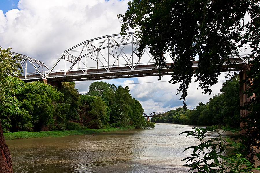
Historic bridges
Texas is home to many historic bridges and works to maintain them. Visit some of Texas' noteworthy bridges.

Global positioning system
Since 1982, TxDOT has been using GPS technology. Discover Texas facts with help from 24 Department of Defense satellites.

TxDOT one-stop demographic data analysis tool
A tool that allows you to review and report general demographic information for trend analysis.
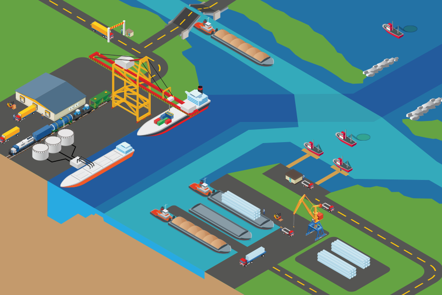
Maritime project dashboards
The Maritime Division’s project dashboards highlight port and waterway projects throughout the state.

Map guidelines
Follow standards for consistent, clear, and accessible map design.
DISCOS - district and county statistics
This publication provides selected transportation-related statistics for each of the 254 counties and 25 TxDOT districts within the state.
Locate a district by county