Departmental map
Reference maps

TxDOT maintains a spatial dataset of roadway polylines for planning, asset inventory, visualization, and general mapping.
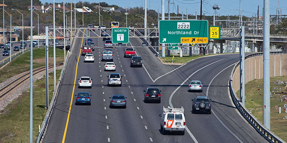
The departmental map serves as a visualization of all on-system routes that TxDOT maintains. The routes include interstate highways, US highways, state highways, as well as farm and ranch roads.
TxDOT updates the map continually and publishes it annually.